
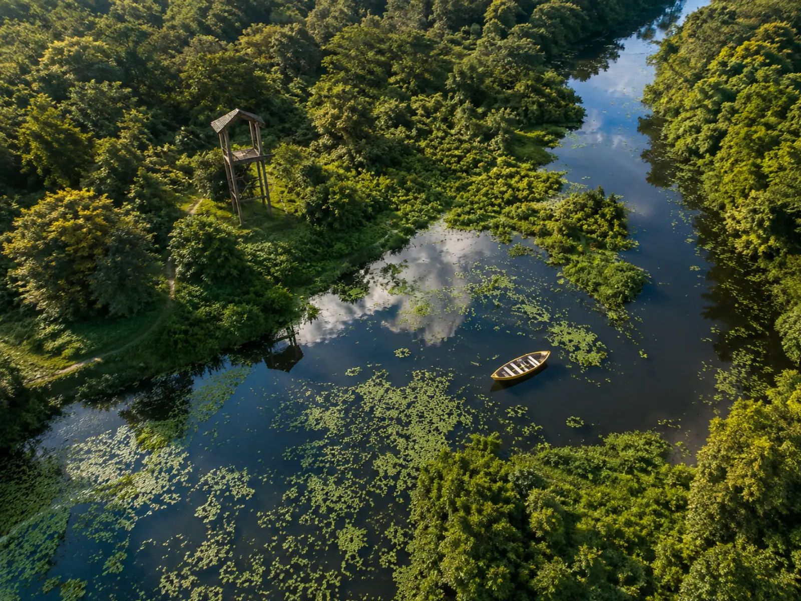
Sikiajhora
~3 km from Panijhora· verify
A slow, dark-green forest stream you row through under a closed canopy. Best for birds at first light, when the water is still.
Best October to April, at dawn
Within reach of the village
II. Experience Dooars
Everything below is reached from Panijhora as a morning, a day or a long day out. Distances are approximate road distances and should be confirmed before you set off — forest roads and river crossings change with the season.
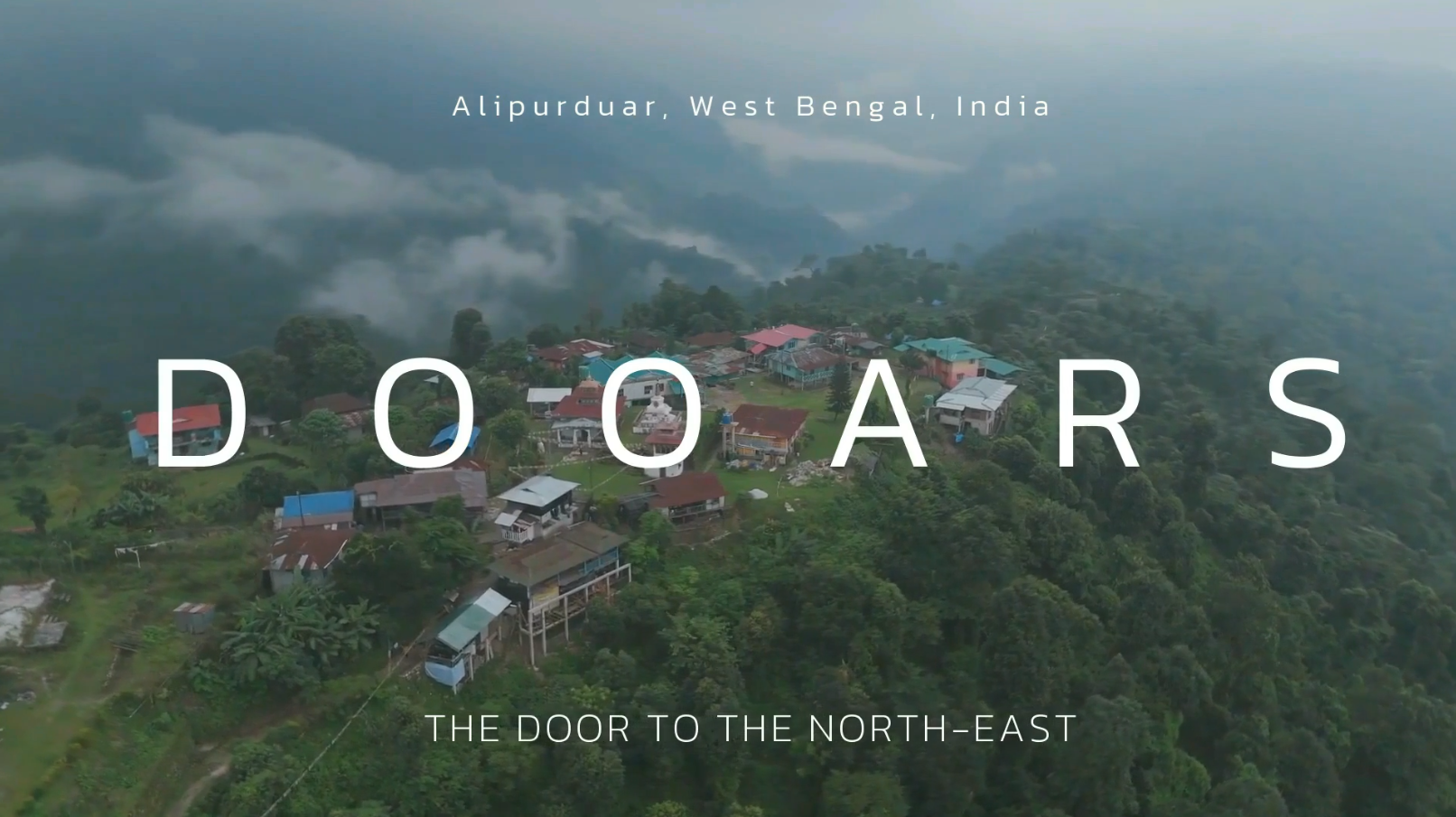
PLUS CODE HGRG+8HC · PANIJHORA FOREST VILLAGE · BUXA TIGER RESERVE
ALIPURDUAR · WEST BENGAL 735227 · 5 ROOMS · 1 CRAFT ROOM · 1 GARDEN
Under 25 km
~3 km from Panijhora· verify
A slow, dark-green forest stream you row through under a closed canopy. Best for birds at first light, when the water is still.
Best October to April, at dawn
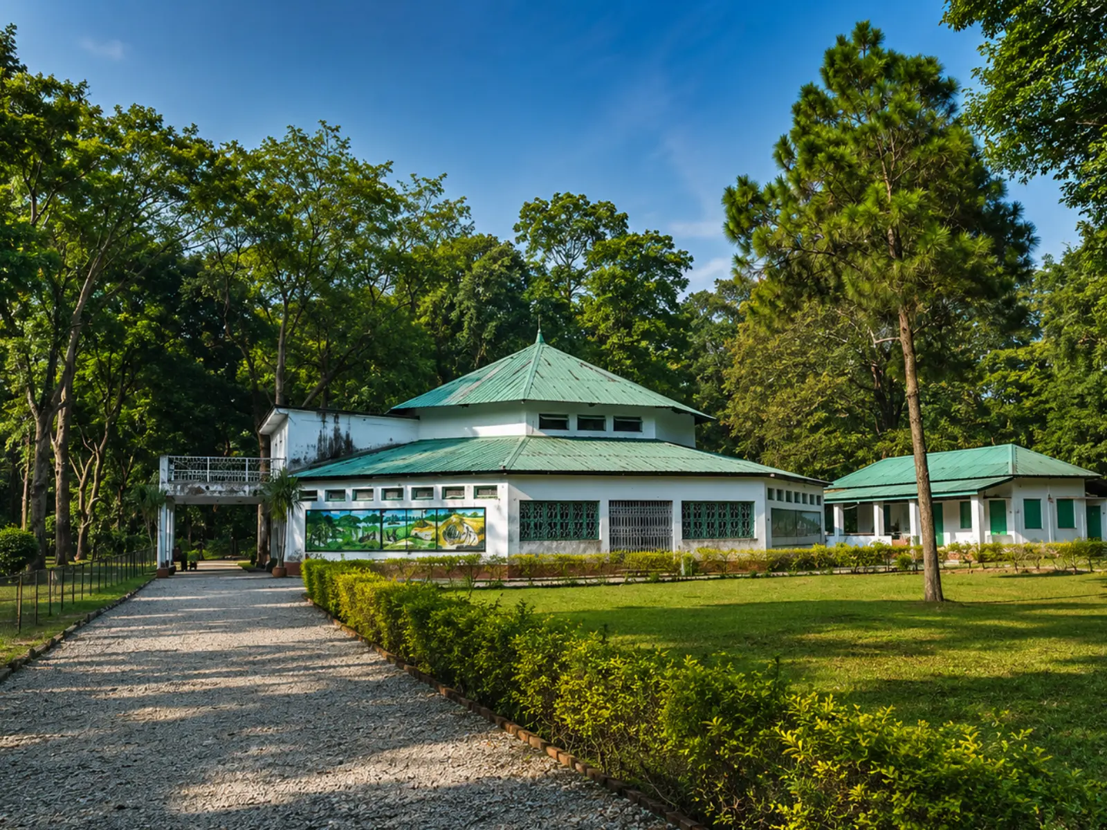
~5 km from Panijhora· verify
The entry gate to Buxa Tiger Reserve, with the nature interpretation centre beside it. Permits and safari bookings begin here.
Open through the dry season; check forest timings
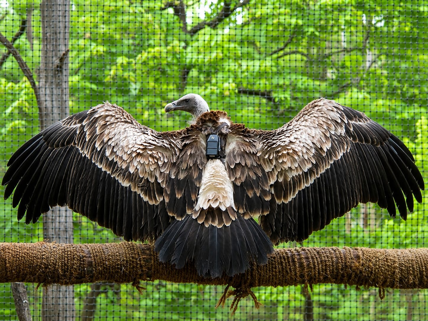
~5 km from Panijhora· verify
A breeding centre for critically endangered Gyps vultures, run beside the Rajabhatkhawa gate. Viewing is limited and controlled.
Year-round; entry subject to permission
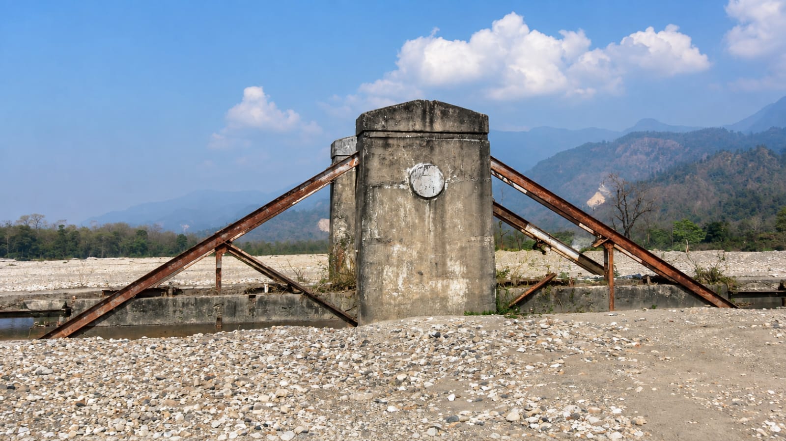
~15 km from Panijhora· verify
The wide white riverbed under the Bhutan hills, walked rather than driven. Most of the Jayanti walks start from here.
November to March for a dry riverbed crossing
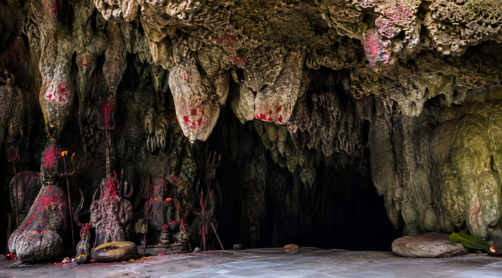
~17 km from Panijhora· verify
A limestone cave shrine reached on foot from the Jayanti riverbed, up through the forest.
Dry months only; busy around Shivratri
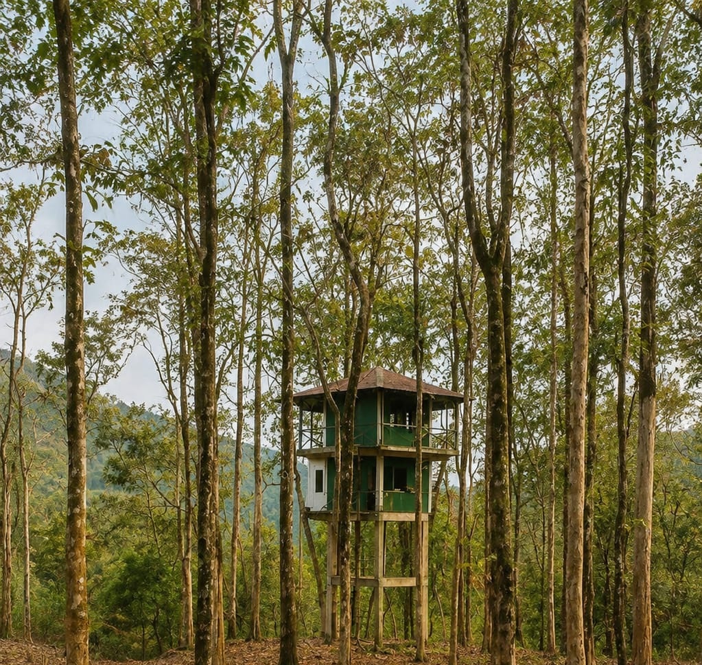
~17 km from Panijhora· verify
A short, steep climb from Jayanti to a hilltop pond, with the plain opening out behind you.
October to March, start early
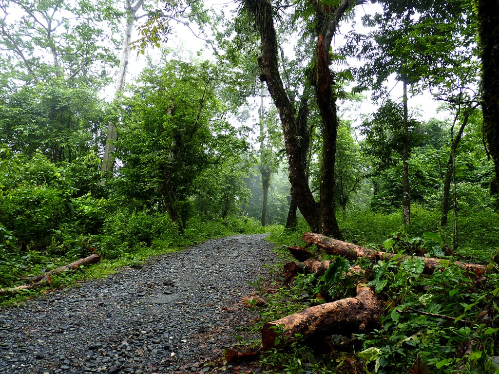
~18 km from Panijhora· verify
A quiet forest clearing above Jayanti, known among birders for hornbills and early-morning calls.
Best at first light, October to April
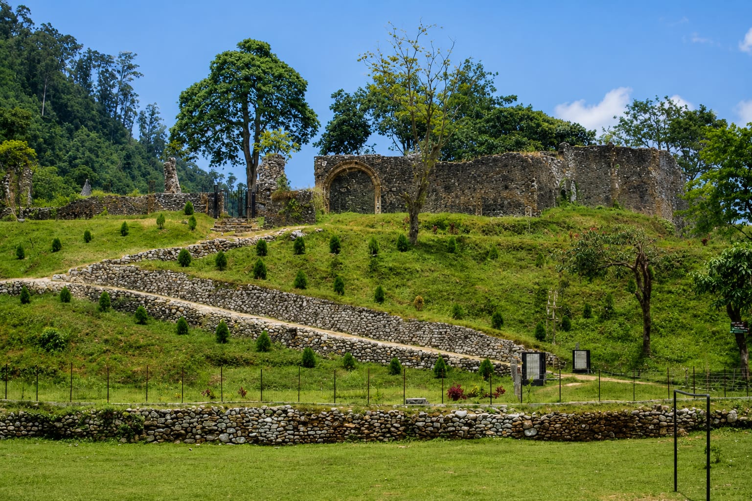
~20 km from Panijhora· verify
A hill trek from Santalabari to the 18th-century fort later used as a detention camp for freedom fighters.
October to March, start early
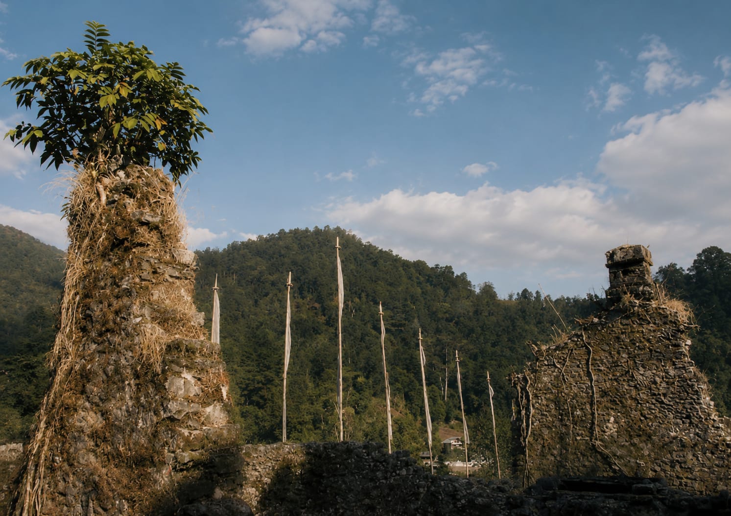
~22 km from Panijhora· verify
A Drukpa hamlet above Buxa Fort, with views across the whole Dooars plain. A full-day walk.
Clear-weather months, October to March
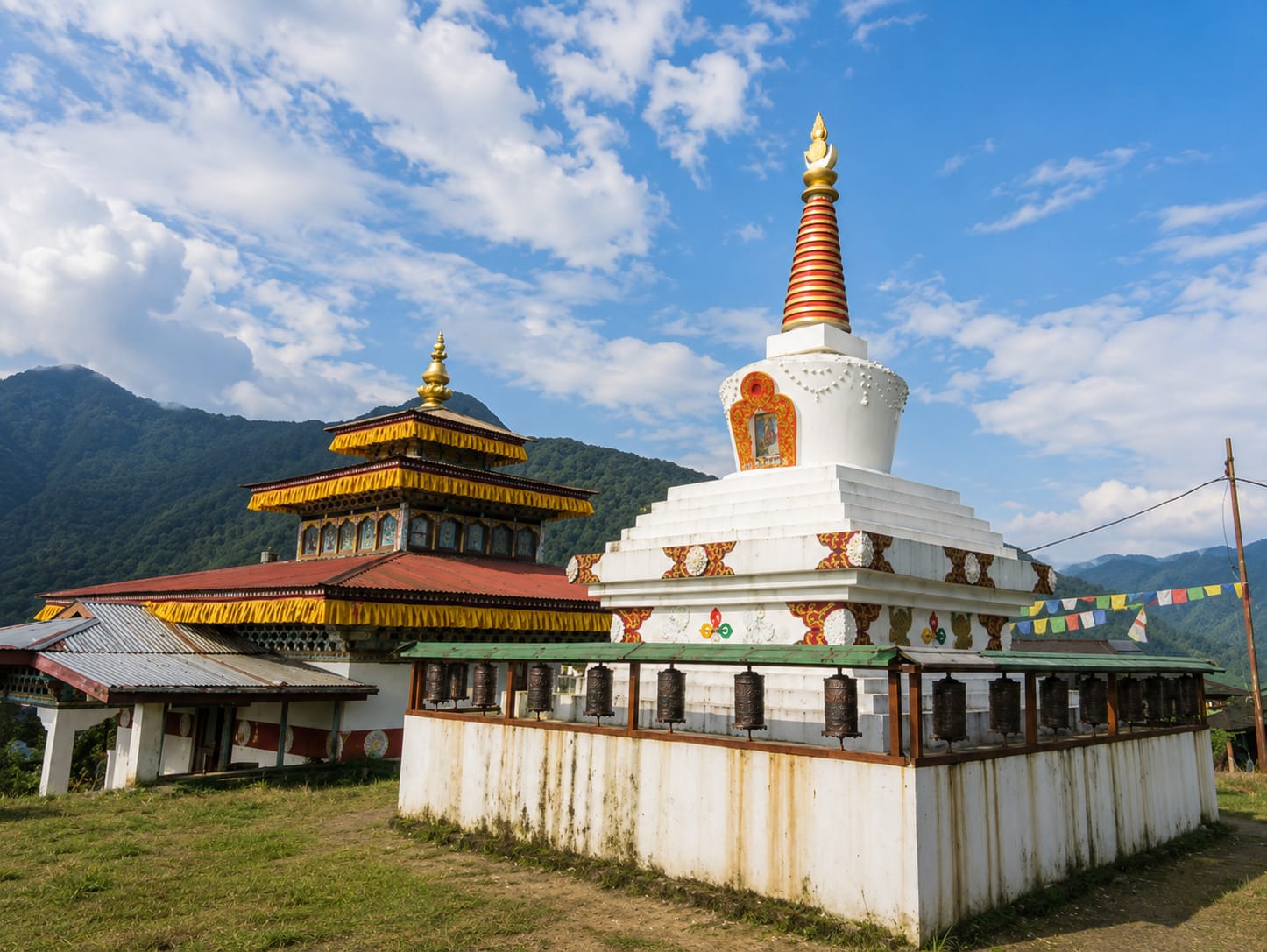
~21 km from Panijhora· verify
The small hill settlement below the fort, where the trek pauses and the tea is always ready.
October to March
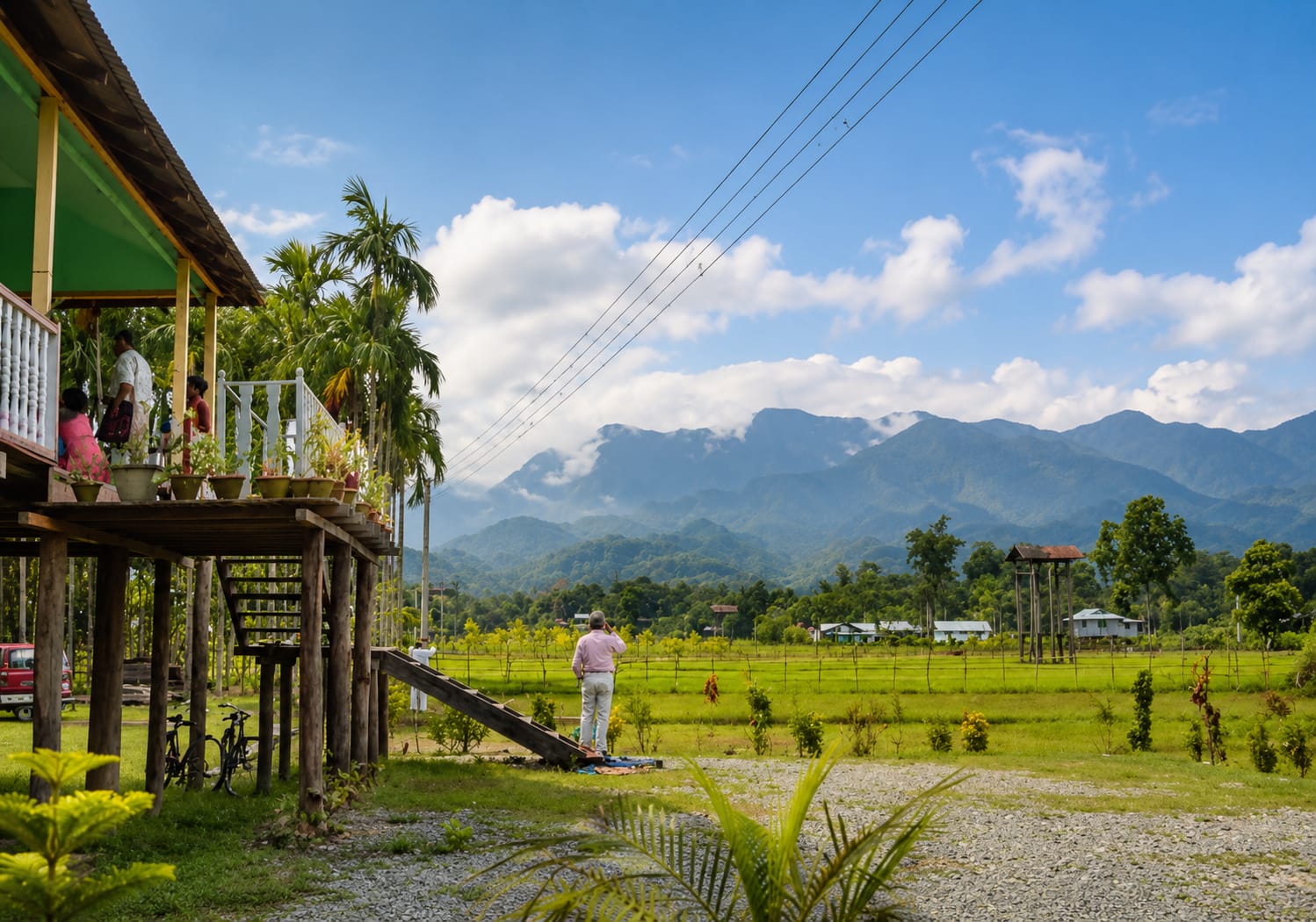
~20 km from Panijhora· verify
A quiet riverside forest village at the end of the road, good for slow days and river walks.
Dry season only; river crossing after rain is unreliable
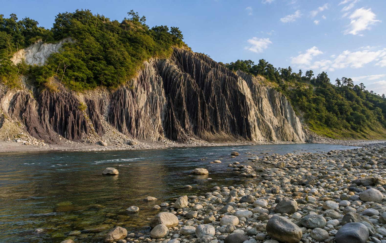
~35 km from Panijhora· verify
Where the Raidak enters India from Bhutan; elephant country, and very quiet all day.
November to March
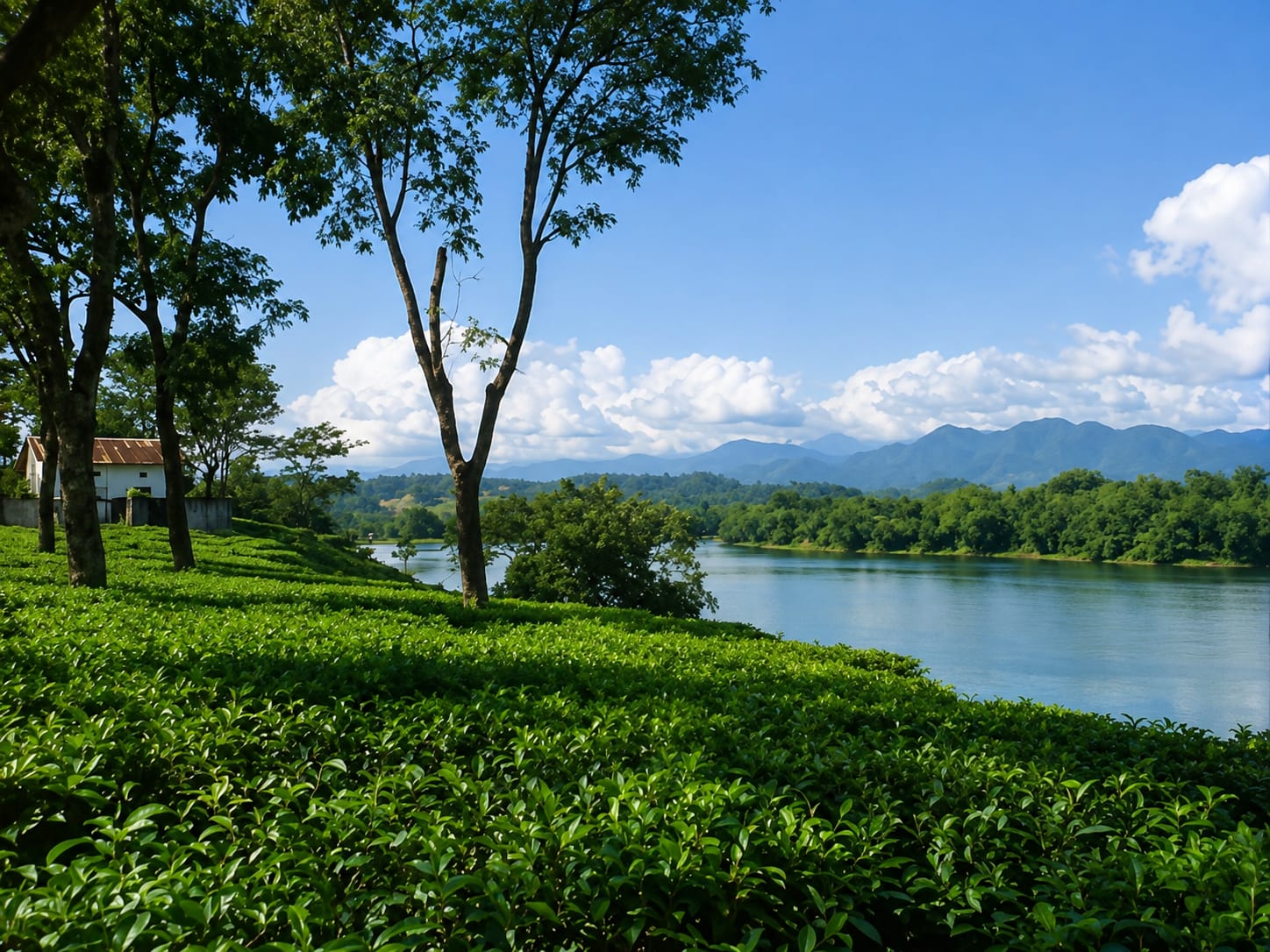
~12 km from Panijhora· verify
Forest blocks on the reserve fringe, walked with a village guide for birds and tracks.
Dry season; closed in parts during monsoon
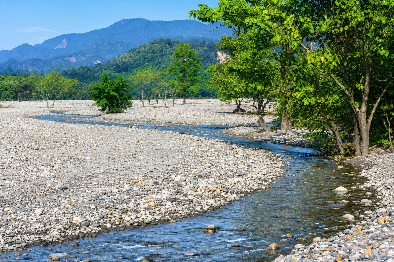
~16 km from Panijhora· verify
Roadside and ridge viewpoints looking north into the Bhutan hills, best in the hour after sunrise.
Clear mornings, November to February
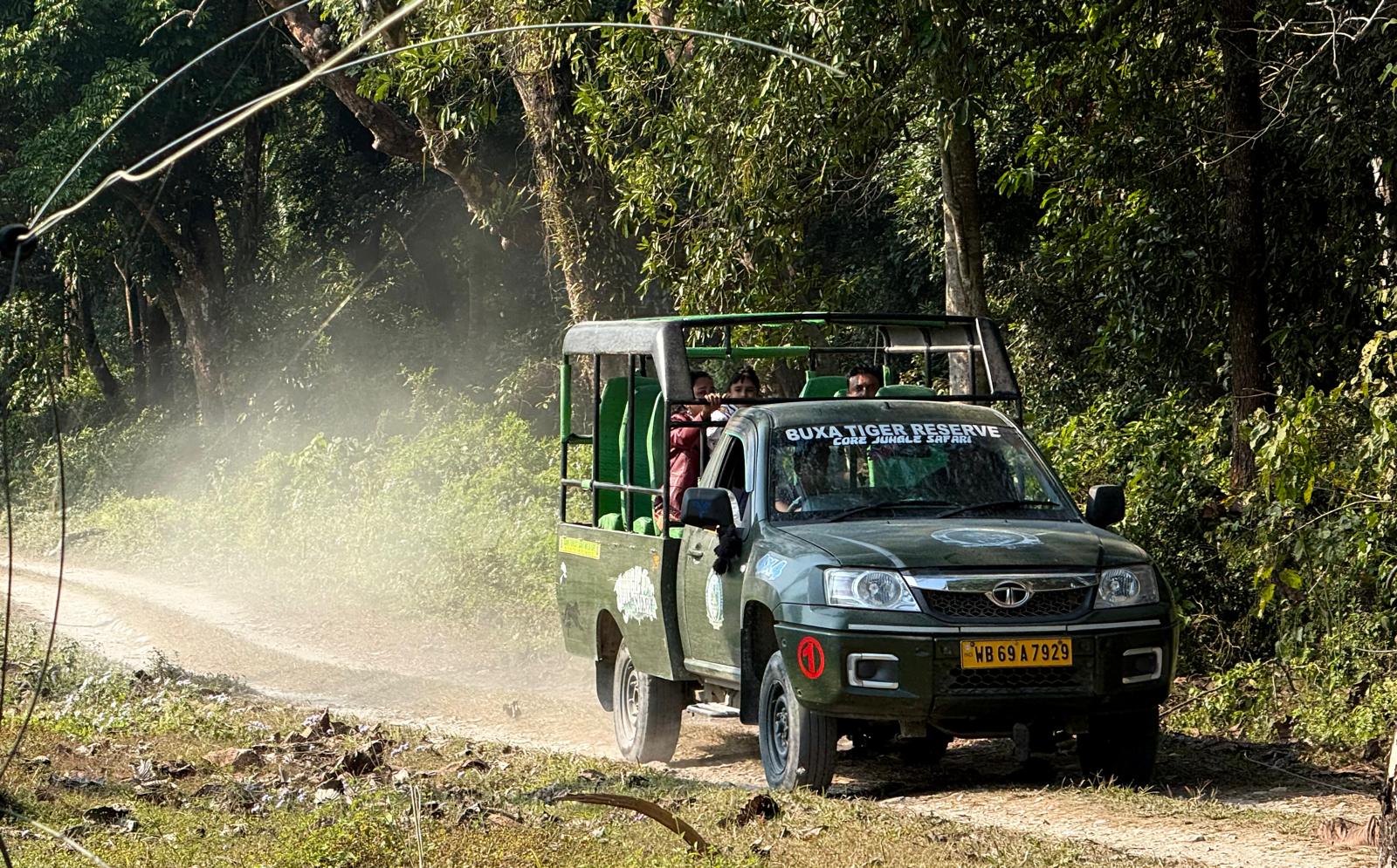
From Rajabhatkhawa from Panijhora· verify
Jeep safaris through sal and mixed forest, on permits issued by the forest department.
Dry season; parts of the reserve close in monsoon
25–80 km
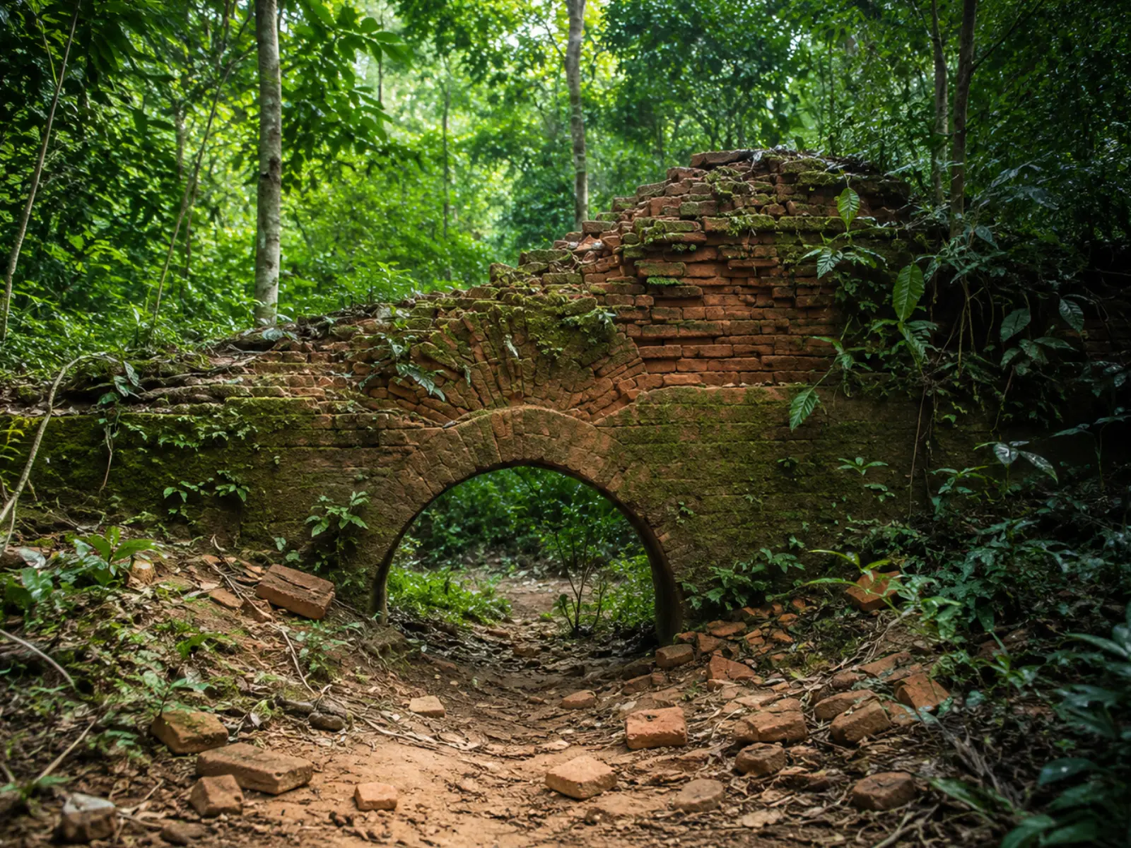
~30 km from Panijhora· verify
Dense old forest with the Nal Raja Garh ruins inside it; jeep safaris and elephant corridors.
Safaris mid-September to mid-June
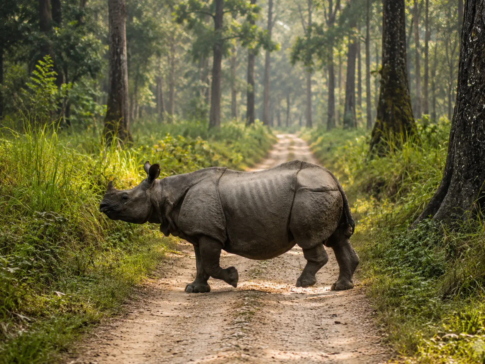
~35 km from Panijhora· verify
One-horned rhino grassland, with elephant-back and jeep safaris from Madarihat and Hollong.
Mid-September to mid-June; book safaris ahead
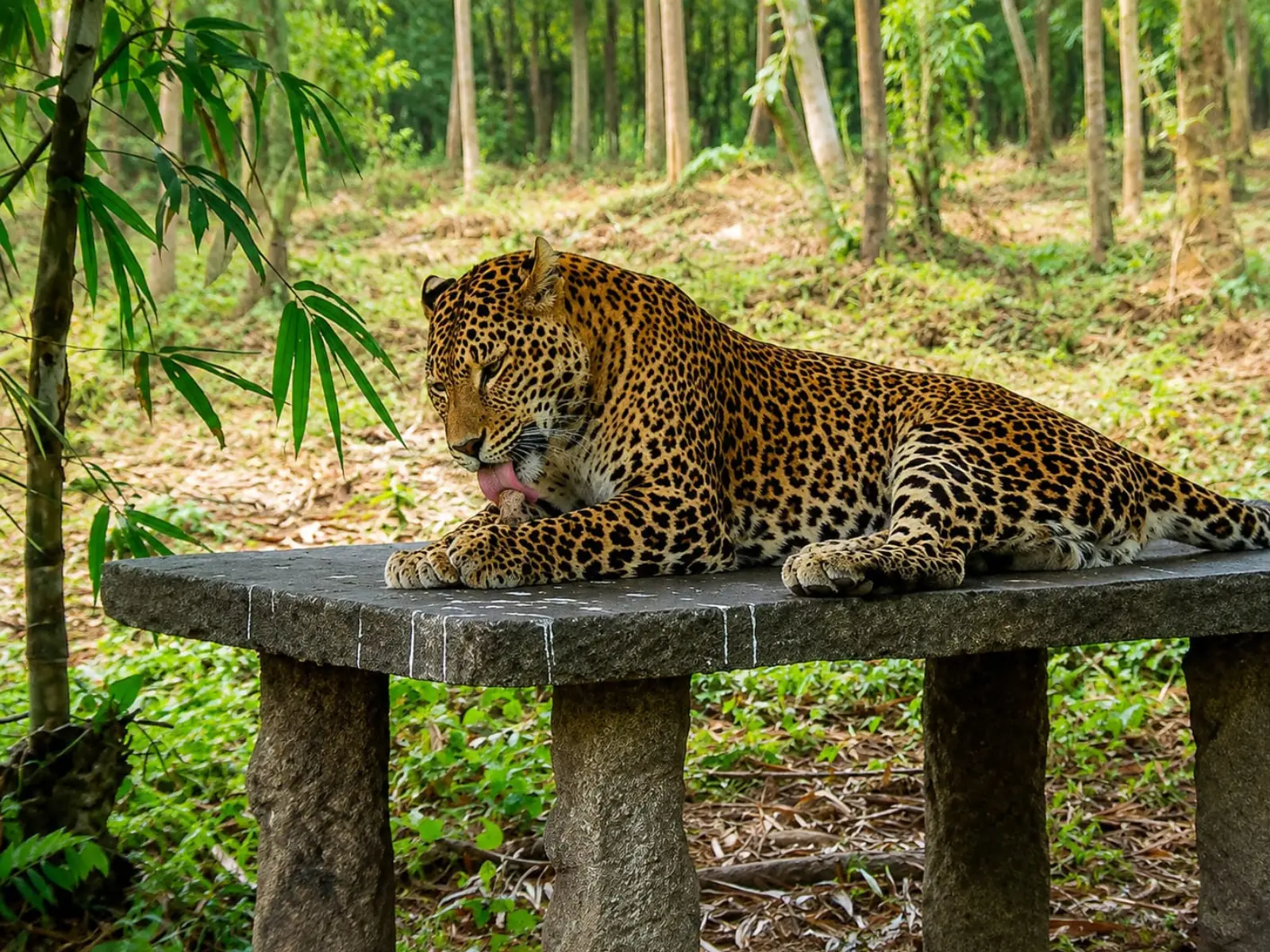
~40 km from Panijhora· verify
A rescue and rehabilitation centre for leopards and tigers, in forest beside Jaldapara.
Year-round; closed on weekly holidays
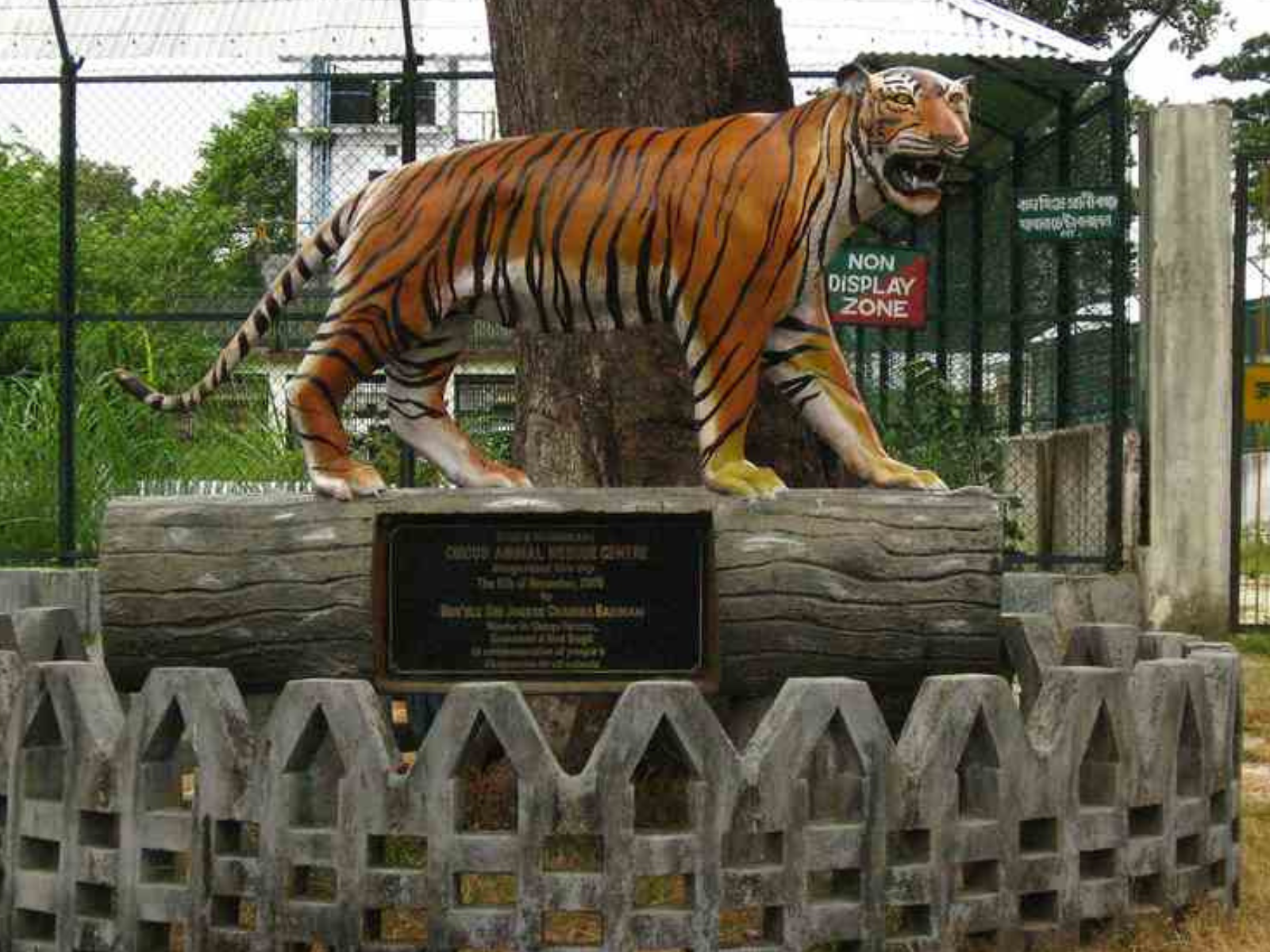
~42 km from Panijhora· verify
Mixed forest and grassland on the Jaldapara fringe, quiet and easily combined with Khayerbari.
October to April
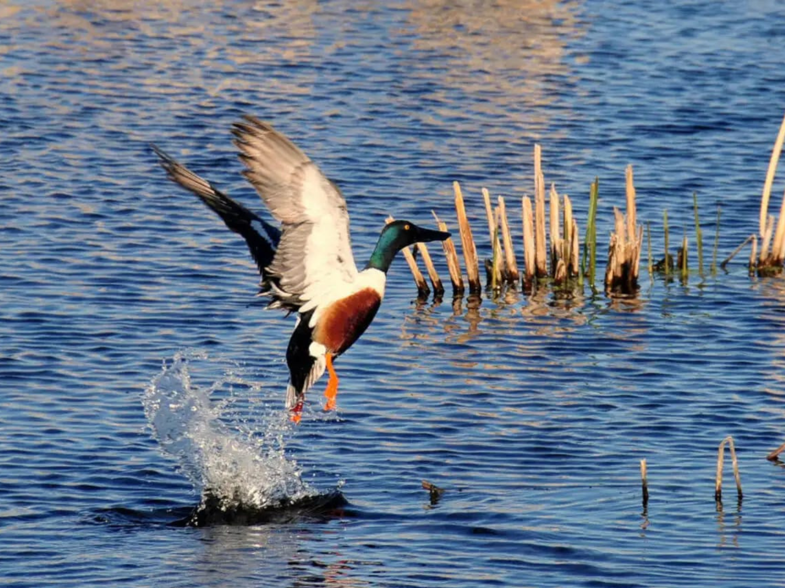
~60 km from Panijhora· verify
A large freshwater lake and bird sanctuary with a deer park and crocodile enclosure alongside.
Winter, for migratory waterbirds
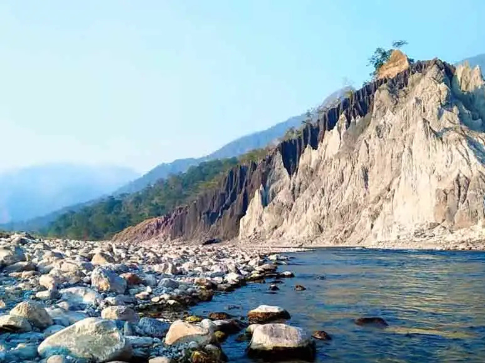
~65 km from Panijhora· verify
A still lake ringed by forest, where waterfowl gather away from the safari circuits.
November to February
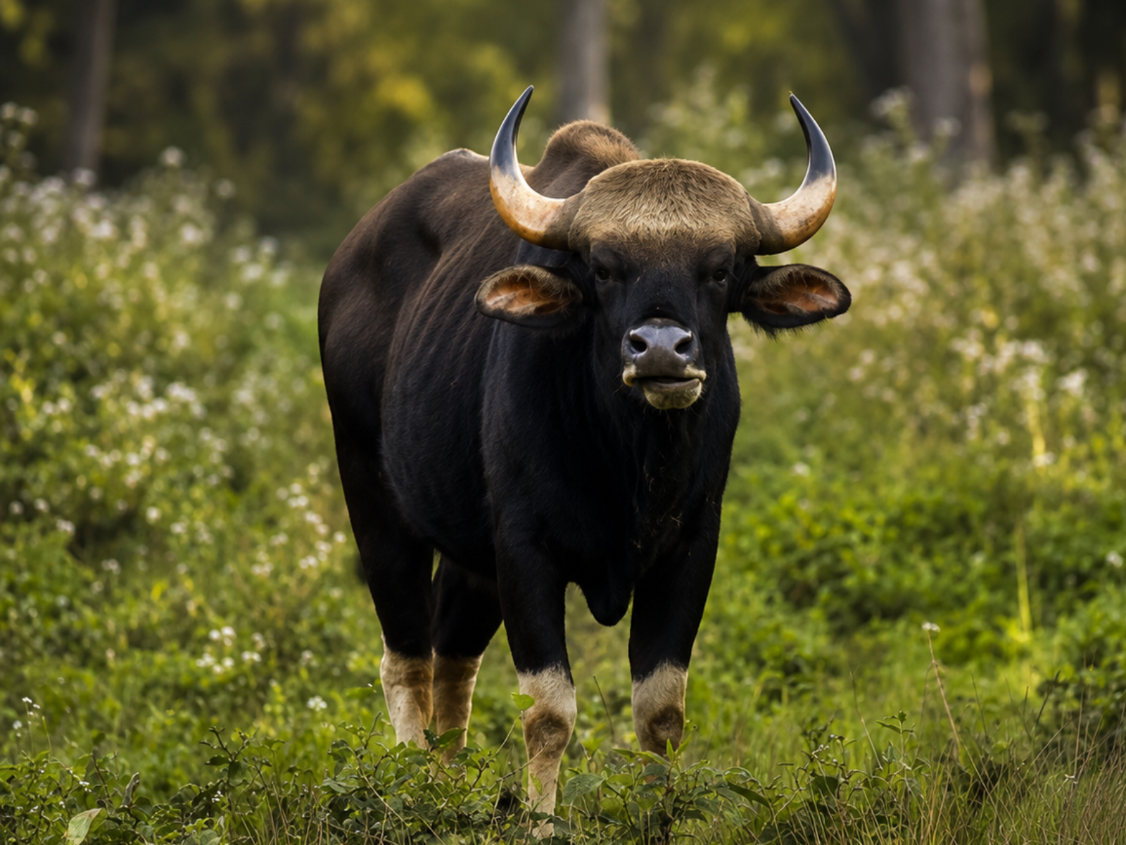
~75 km from Panijhora· verify
Grassland and riverine forest with rhino, gaur and elephant, watched from forest watchtowers.
Mid-September to mid-June
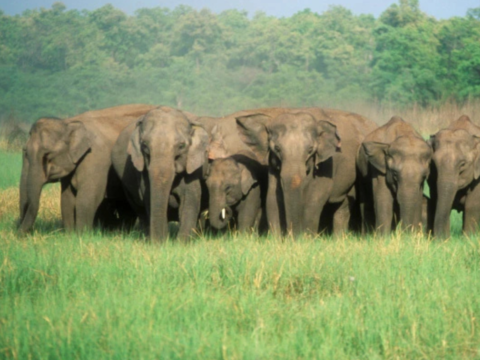
~80 km from Panijhora· verify
A small, dense sanctuary next to Gorumara, crossed by the Murti and known for elephant.
Mid-September to mid-June
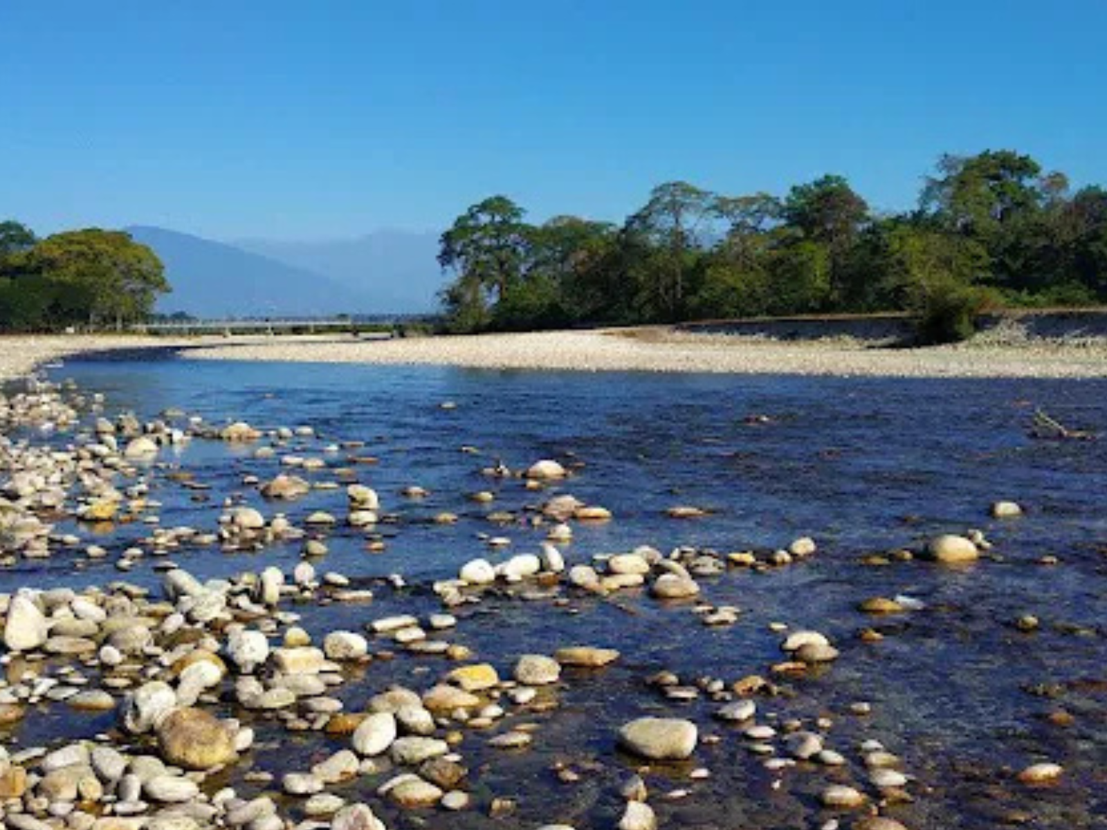
~78 km from Panijhora· verify
A shallow boulder-bed river at the edge of Gorumara, good for an unhurried afternoon.
October to April
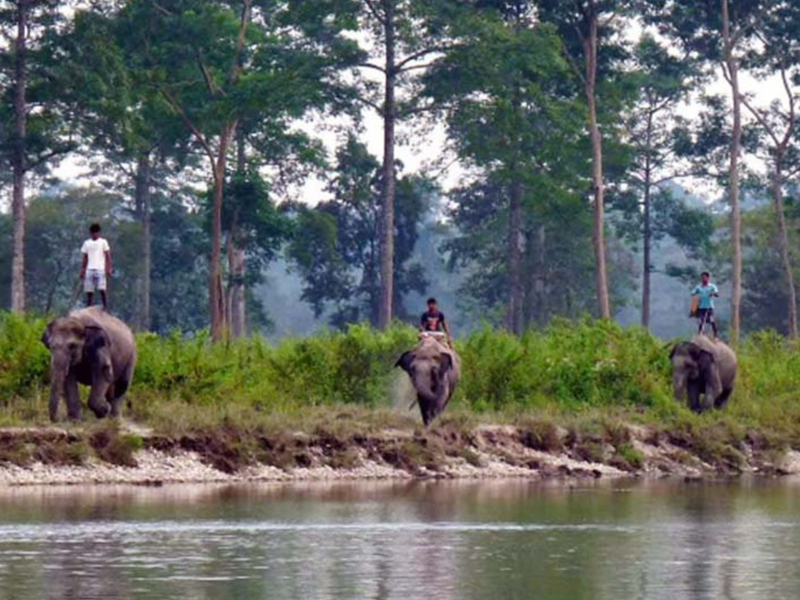
~78 km from Panijhora· verify
The forest department's elephant camp on the Murti, where the working elephants are kept.
Year-round; timings vary with the safari season
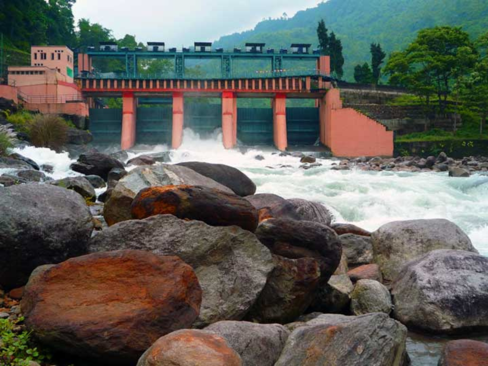
~80 km from Panijhora· verify
The river and the hydel township where the Jaldhaka comes down out of the hills.
October to April
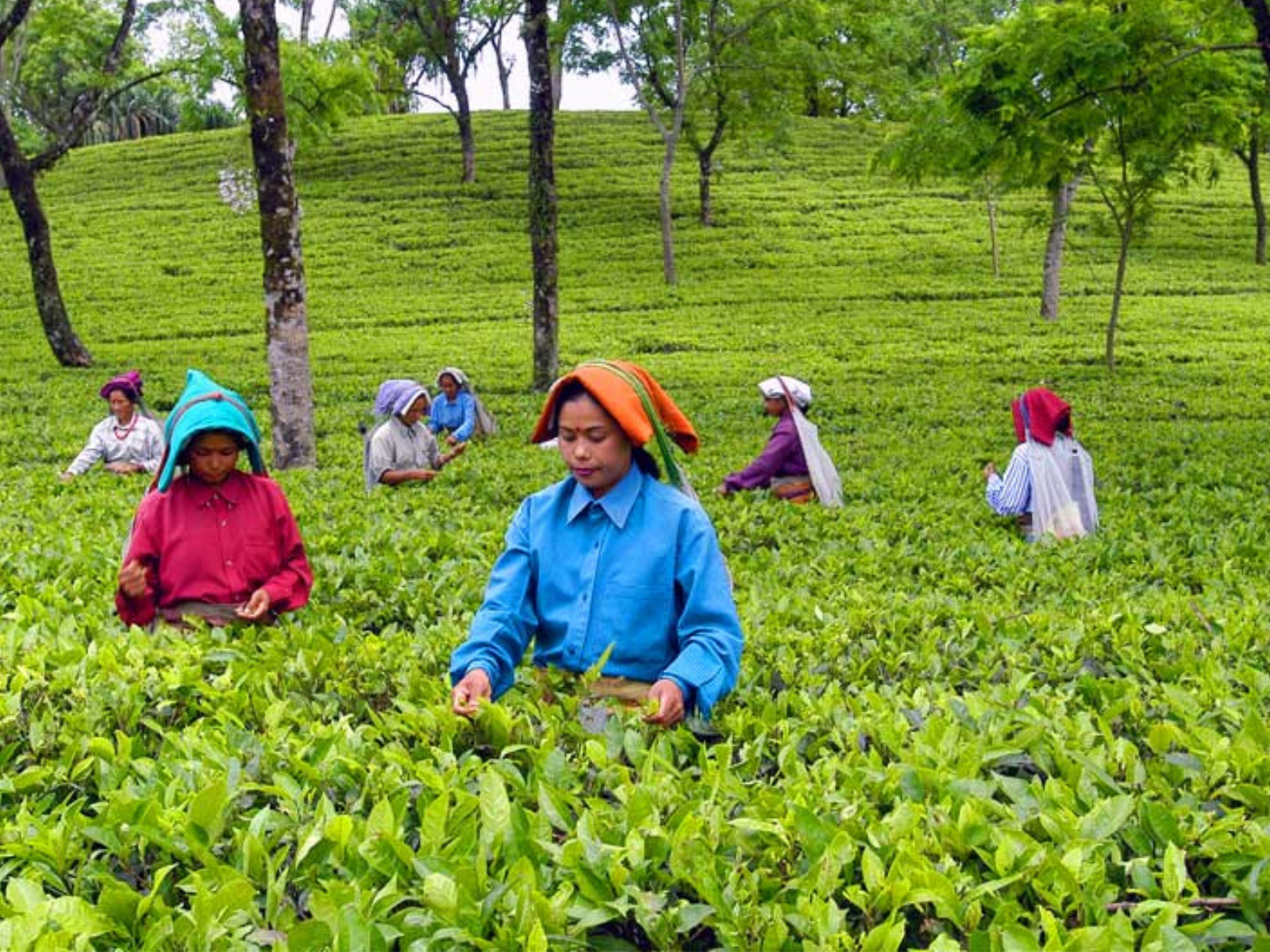
From 5 km from Panijhora· verify
Garden walks and factory visits across the estates that surround the reserve on all sides.
Plucking season, March to November
80–150 km
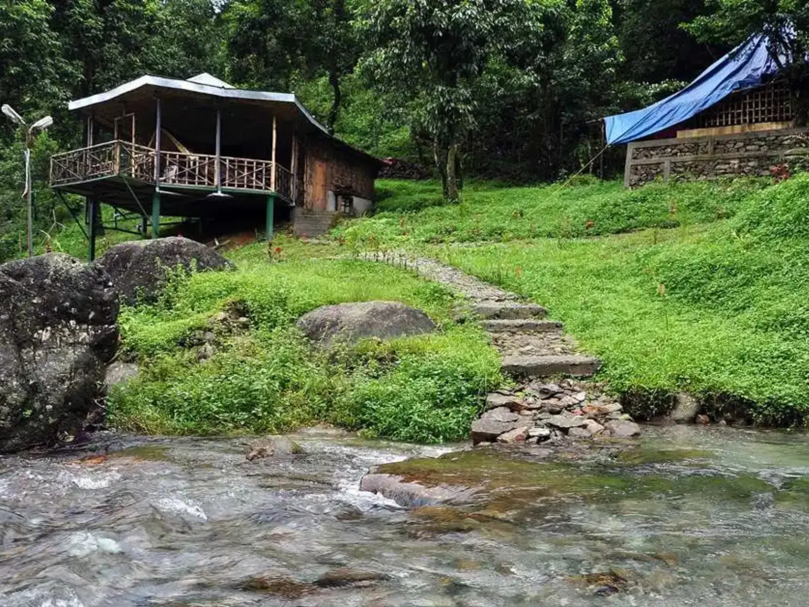
~95 km from Panijhora· verify
Tea slopes giving way to forest streams, with short walks up to Suntalekhola from Samsing.
October to May
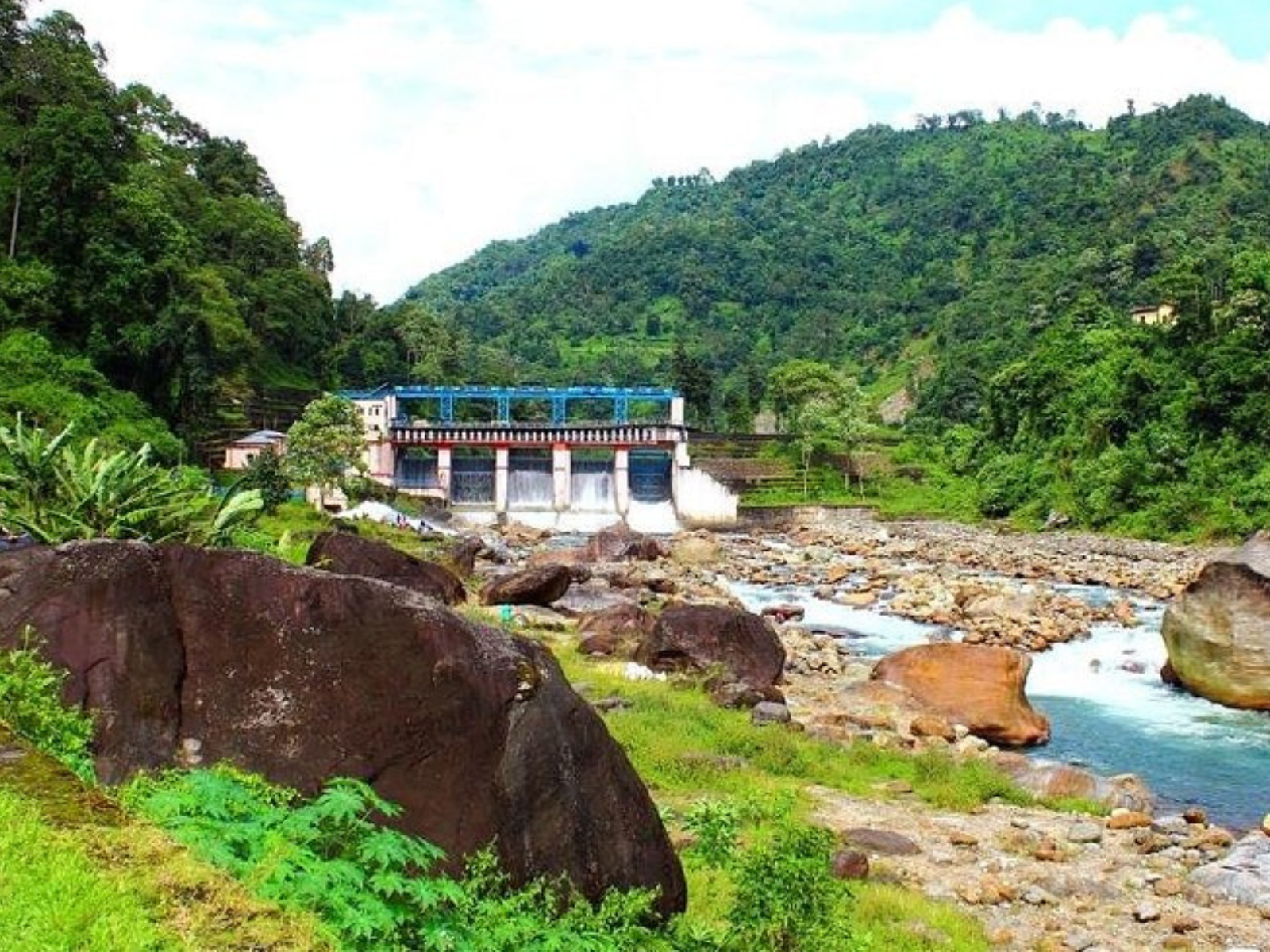
~115 km from Panijhora· verify
Two small river settlements on the Bhutan border, on the banks of the Jaldhaka.
October to May; avoid heavy rain
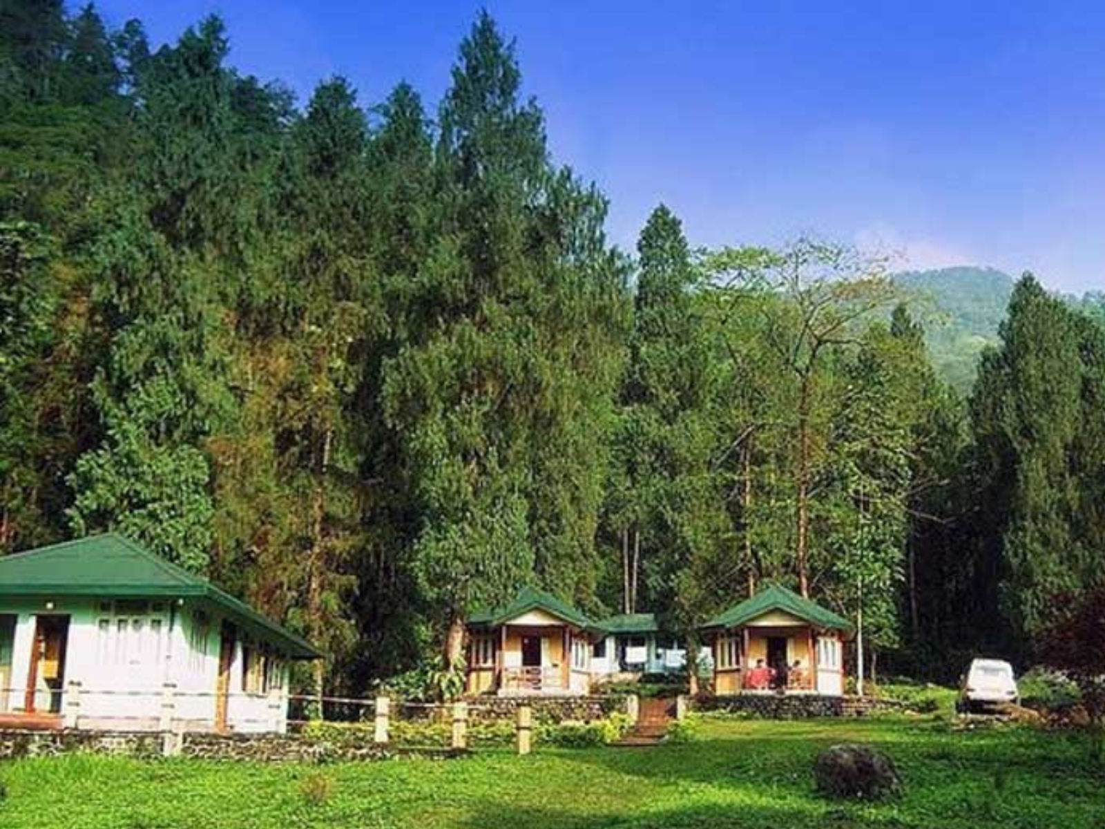
~110 km from Panijhora· verify
A quiet hill village between Jhalong and Lava, with forest walks and very few visitors.
October to May
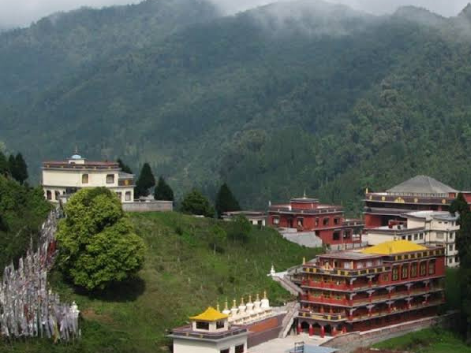
~130 km from Panijhora· verify
A cloud-forest town with a monastery and the Neora Valley forest immediately behind it.
Year-round; cold and wet from June to September
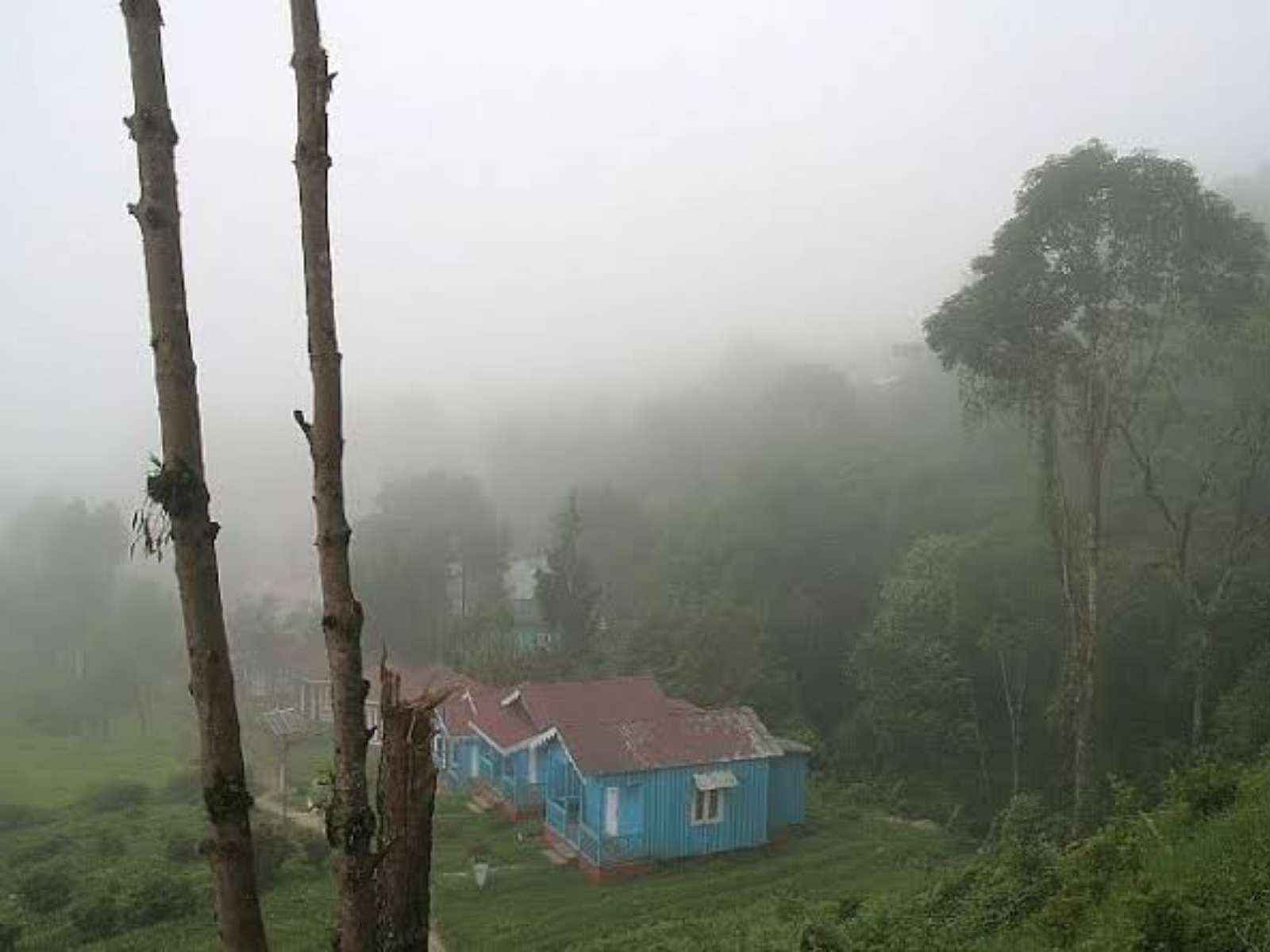
~145 km from Panijhora· verify
A pine ridge above Lava with a canopy walk and a long view towards the snows.
October to April for clear mornings
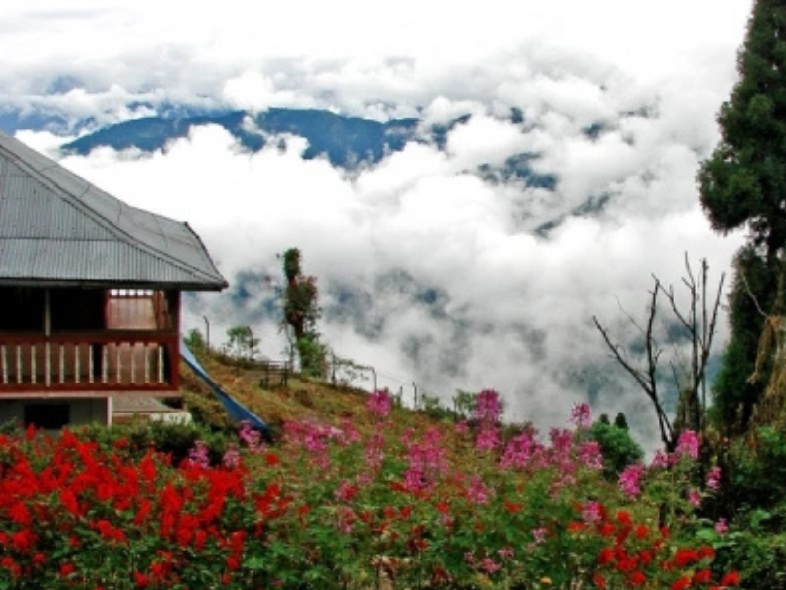
~135 km from Panijhora· verify
A small hamlet on a spur above Lava, with Kanchenjunga visible on clear mornings.
October to April
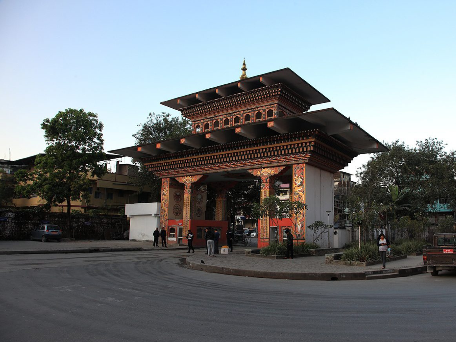
~40 km from Panijhora· verify
The Bhutan border town and its gateway market, crossed on foot through the border gate.
Year-round; carry photo identification
Villages, communities and monuments
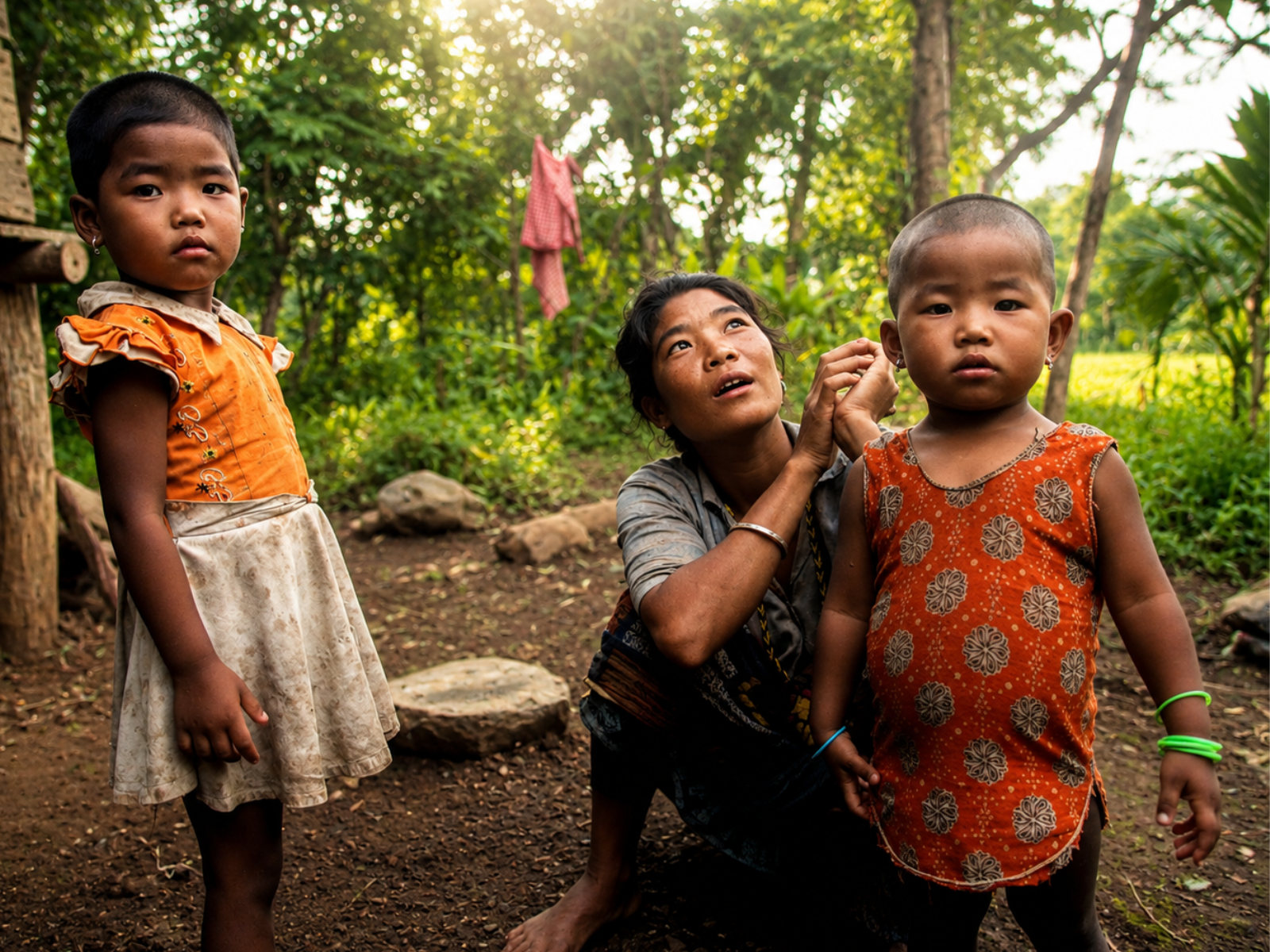
~55 km from Panijhora· verify
Home of the Toto, one of India's smallest indigenous communities. Visit respectfully, and with a local guide.
Year-round; avoid heavy monsoon roads
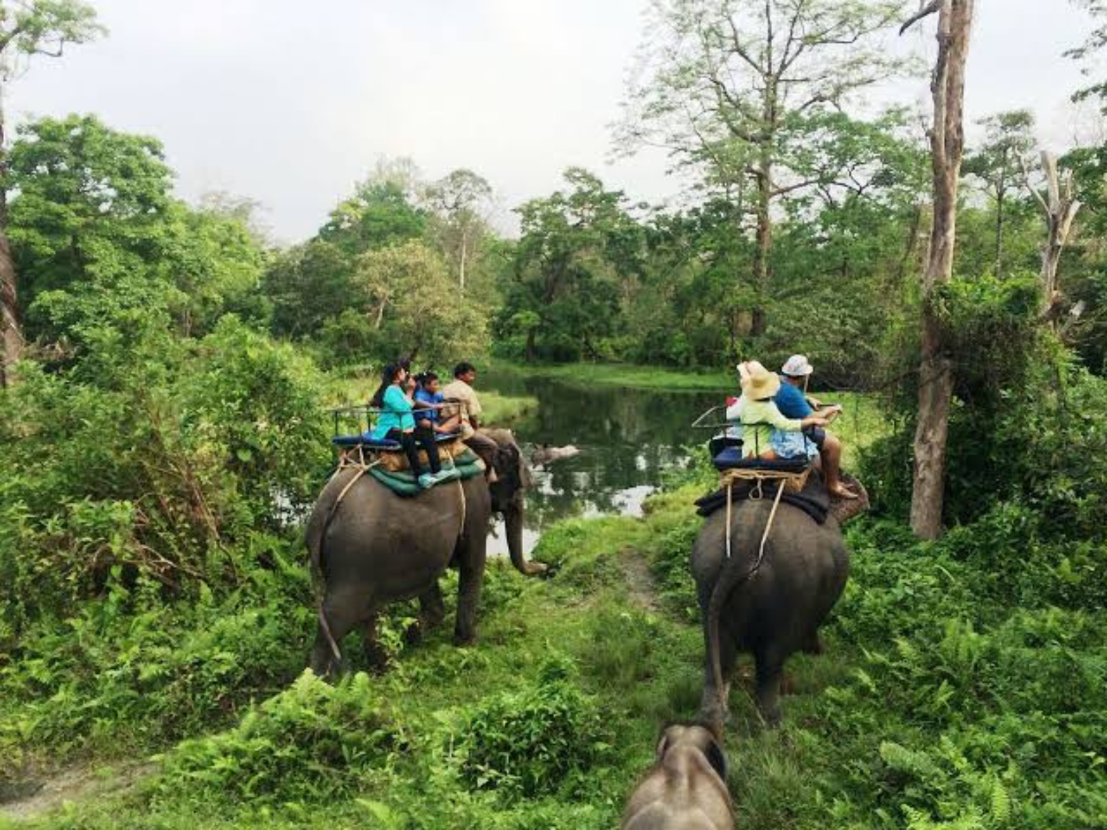
~35 km from Panijhora· verify
The market town at the Jaldapara gate, and the road head for Totopara beyond it.
Year-round
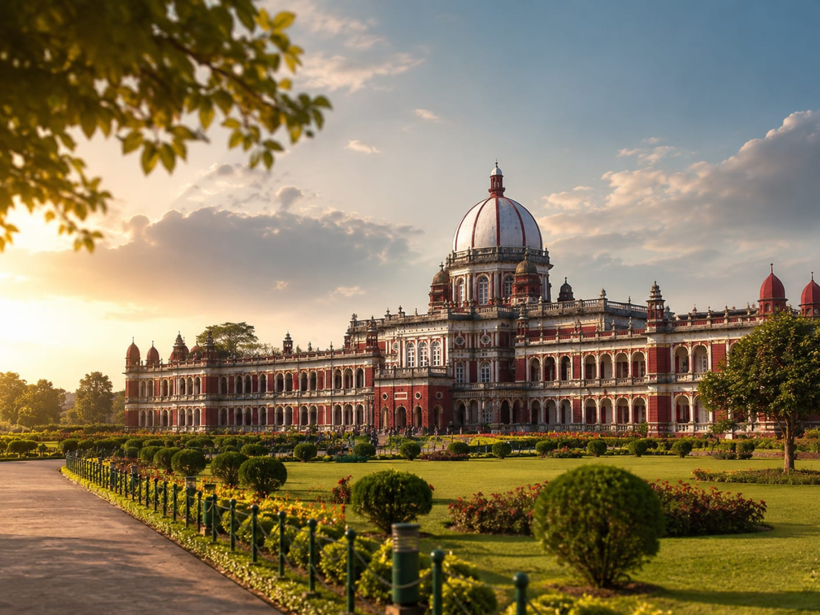
~70 km from Panijhora· verify
The 19th-century Italianate palace of the Koch dynasty, and its grounds.
Year-round; closed on some public holidays
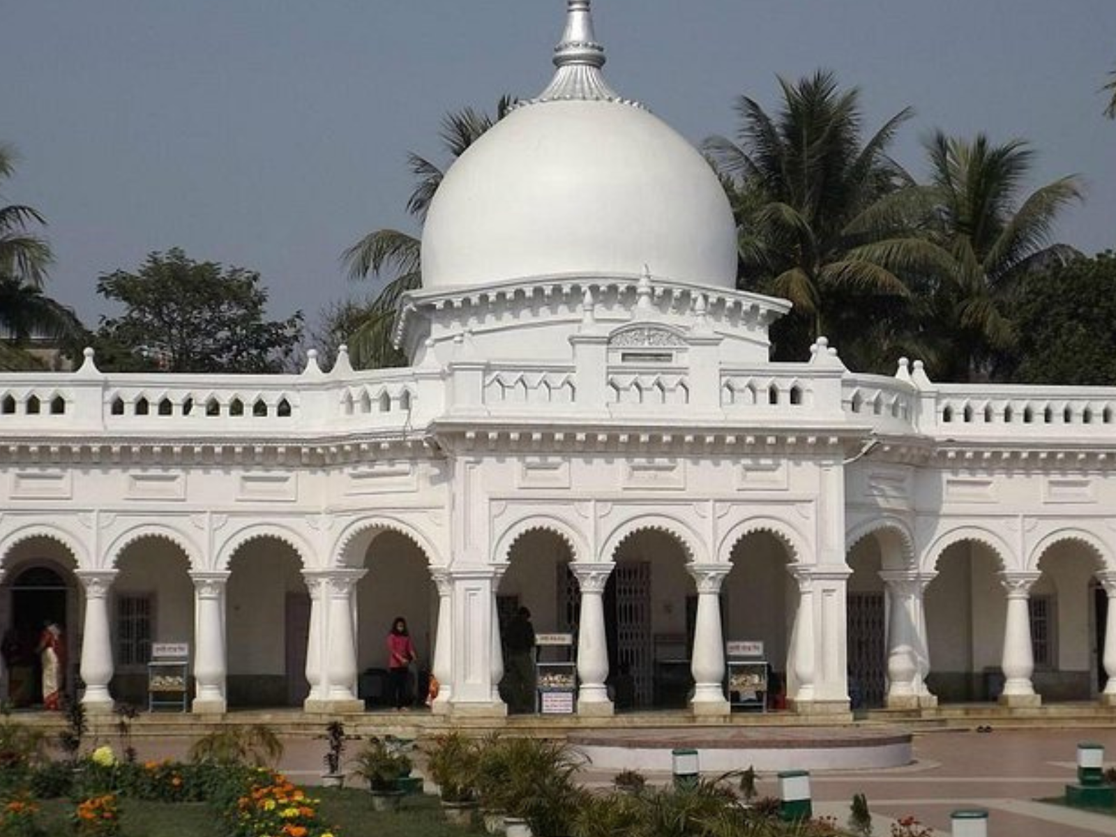
~72 km from Panijhora· verify
The town's principal temple, built by the Koch royal house and busiest during Raas Mela.
Year-round; Raas Mela in November
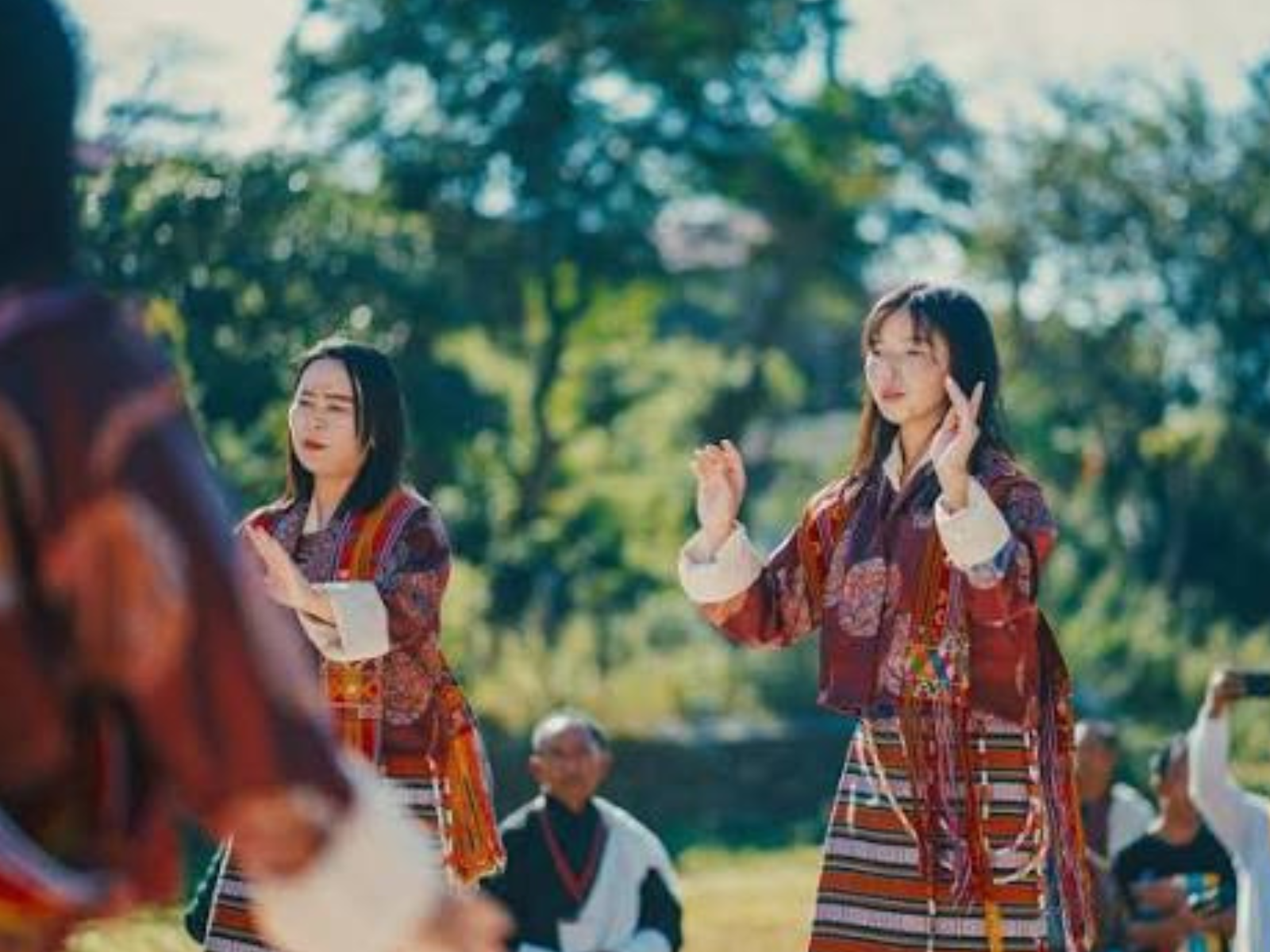
~22 km from Panijhora· verify
Lepchakha, Chunabhati and the hamlets around them, reached only on foot from Santalabari.
October to March
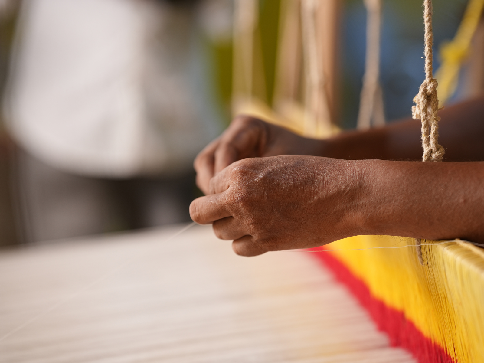
In the village from Panijhora· verify
The clay, dye, weave and print studios worked by artisans in and around Panijhora.
Year-round, by arrangement
Footnote
Enquiries
Tell us your dates and interests — birds, riverbeds, hills or villages — and we will suggest an order. Call +91 77352 24070.